Southern · Thailand
Yala · ยะลา
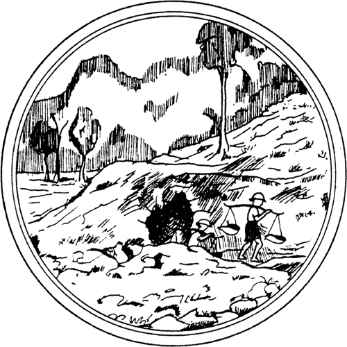
Betong — southernmost town — sea-of-mist, Bang Lang dam, Gollum-like caves.
- Region
- Southern
- Population
- 551,000
- Area
- 4,521 km²
- Stories filed
- 0
About Yala
History
Yala was the easternmost district of the old Pattani sultanate, absorbed by Siam at the same time as Pattani in the 1786–1909 period. The modern provincial capital — laid out by a reform-minded Siamese governor in a radial street plan centred on a circular garden, a rare example of Thai urban planning outside Bangkok — is widely considered the most elegantly designed provincial town in southern Thailand. The province has been subject to the same travel advisories as Pattani and Narathiwat since the insurgency began in 2004.
Landscape & geography
The most mountainous of the three southernmost provinces, with the Sankalakhiri range rising along the Malaysian border and the Bang Lang and Betong valleys cutting through it. The Bang Lang reservoir in the province's heart backs up through a valley of forested hills and provides recreation for the provincial capital. The southern tip at Betong — the southernmost continuously connected landmass of Thailand, connected to Malaysia by road — sits at 500 metres in a mountain microclimate noticeably cooler than the coastal plain.
Why visit
Security conditions in Yala can change quickly; check advisories before travel. For those who do visit, the orderly town centre with its circular garden and colonial-period post office is distinctive. Betong, the southernmost town, is a major cross-border trading hub with a modest tourism industry around its sea-of-mist view at Aiyoeweng and the World War II-era Betong Mutmee partisan tunnel. The Hala-Bala forest reserve in the south-west is one of the world's last primary lowland dipterocarp forests and an important birding destination.
Stories from Yala
Articles, reviews, and itineraries tagged to this province.