Northern · Thailand
Uttaradit · อุตรดิตถ์
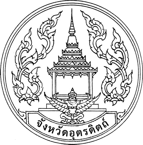
Sirikit dam, langsat fruit, the legendary sword of Phraya Pichai.
- Region
- Northern
- Population
- 454,000
- Area
- 7,839 km²
- Stories filed
- 0
About Uttaradit
History
Uttaradit grew up as a riverside trading post on the Nan, forming the principal transhipment point between the central plain and the Laotian kingdoms of Lan Xang upriver. The provincial hero, Phraya Phichai Dap Hak — \"Phichai of the Broken Sword\" — held the city against Burmese raiders in 1773 with a famous last stand whose legend adorns the provincial seal; a grand bronze statue stands in the city centre. The province was also the site of significant Communist Party of Thailand activity in the 1970s, and the forests of Doi Luang still shelter former guerrilla supply trails.
Landscape & geography
A long valley where the Nan river emerges from the northern mountains and begins its southward journey toward the central plain. Rice and langsat orchards fill the middle; forest-clad hills rise to the east toward the Laotian border, where the Sirikit Dam's reservoir backs up into a long, narrow lake with forested shores. Doi Luang and Phu Soi Dao national parks protect the border ridges at over 2,100 metres, their cool-season waterfalls and pine-oak forests almost entirely free of tourist infrastructure.
Why visit
Uttaradit is genuinely off most itineraries, but its langsat orchards — the fruit is sweeter and thinner-skinned here than anywhere else in Thailand — make October the best time to arrive. The Sirikit Dam reservoir rewards a half-day of walking or kayaking along its forested shore. The Phraya Phichai statue and the local museum around his legacy tell the province's martial story well. The cool-season waterfalls at Phu Soi Dao national park are a modest but rewarding day-hike on the Laotian border ridge. A pleasant overnight on the Bangkok–Nan drive.
Stories from Uttaradit
Articles, reviews, and itineraries tagged to this province.